-
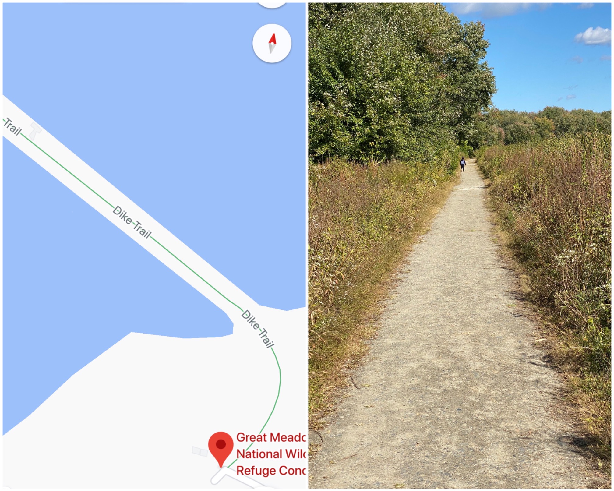 We went to the Great Meadows Wildlife Refuge today. Based on the default map view, I imagined that the Dike Trail was a path on a dike, dozens of feet high, surrounded by water.
It’s actually a dike that goes through wetlands, so at best, the water’s a few feet high, probably, but today, it was dry, so it looked like the picture on the right.
It was interesting to look at anyway, but I should’ve checked the satellite view.